
Painesville Neighbors by Parcel
Public sources can describe the parcels around a Painesville address, but they do not create a complete resident list for a block. The strongest local sequence is map first, then a selected parcel card, then the recorded-document trail if a property question remains. Election and civic sources have narrower roles. Keep owner, tax-mailing contact, map label, voter registration, and occupant information separate because each comes from a different record system.
| Source | What It Shows About a Block | Access |
|---|---|---|
| LakeNavigator Public Notification | Surrounding parcel owner name, address, and city through a PIN, buffer, and label export | Free public viewer; parcel and tax-contact layer only |
| LakeNavigator map layers | Adjacent parcel shapes, roads, old parcel lines, plats, and labels | Map browse; boundaries are not survey accurate |
| Auditor parcel cards | Owner and tax-mailing fields, legal description, values, and credits for each chosen parcel | Free property search; does not list occupants |
| Recorder | Recorded parties and document trail for selected parcels | Party and legal-description search; online index begins in 1986 |
| Board of Elections | Named-person registration and defined precinct-list access, subject to exclusions | Online lookup begins with name and county; a precinct is not a block |
| Painesville boards and committees | Public meetings and civic contacts | Government resources, not a neighborhood membership directory |
For Painesville neighbors, an owner name or mailing address identifies a parcel-related contact, not everyone at the address. The public sources reviewed do not provide a daily official block roster. A map buffer also does not override Safe at Home or other confidentiality protections.
Painesville Neighbor Notification Flow
LakeNavigator’s Public Notification Tool is the local county method for a measured surrounding-parcel list. The official instructions use the envelope icon in the toolbar. The tool begins with a parcel number, also called a PIN, entered in the dash form. It is designed for parcel notices and labels, so its output concerns surrounding properties and tax contacts rather than the people who may occupy those properties.
- Open the envelope tool and enter the target PIN with dashes, such as
15-A-015-0-00-002-0. Use the magnifying glass to zoom to the parcel. - Choose Apply a search distance only when a measured list is needed. The guide uses 300 feet as an example, then selects feet as the unit.
- Set the Addressee Layer to Parcels - For Labels, choose Comma-separated values as the format, and generate the selected surrounding-property information.
- Read the export as owner name, address, and city for surrounding parcels. Check individual parcels before relying on a label or mailing contact.
The 300-foot setting is an official example, not a universal definition of a Painesville neighborhood. The output does not identify occupants, certify physical presence at an address, or establish that a tax contact is current.
Painesville Neighbor Parcel Checks
For a less formal block review, use LakeNavigator’s universal search by PIN, owner, or street address, select the target parcel, and click the bordering polygons. Each parcel can then be checked in the Auditor’s property system for owner, tax-mailing, legal-description, and municipality fields. The Recorder is the next stop for a deed or recorded-party question because the map and parcel card do not supply a recorded-document image.
The Recorder’s property-fraud alert service is a separate notification path for new recordings associated with a property.
An alert is an early warning to inspect the actual Recorder document and reference. It is not proof that fraud occurred and it does not identify everyone around a parcel.
For a full street-by-street record chain, use the Painesville street directory rather than treating a block review as a whole-street result.
Painesville Neighbor Boundary Warning
Lake County GIS uses Ohio State Plane North, NAD83, in U.S. survey feet. Its parcel ownership data are expressly not survey accurate. The map is useful for research orientation, parcel comparison, overlays, and distance context. It cannot settle a line dispute or replace a licensed survey. Do not infer a legal boundary from a screen capture, a map click, or a buffer edge.
Map labels can also reflect ownership or tax data rather than an on-the-ground household. Compare the GIS shape with the Auditor’s legal-description and parcel fields. If a recorded property question remains, use the Recorder’s document reference. That sequence keeps Painesville neighbor research focused on records each office actually holds.
LakeNavigator’s Near Me tool can locate facilities within a selected distance of up to one mile after a PIN, owner, or address search. It provides context for features such as schools, libraries, or police locations. It does not produce a neighbor roster, establish a property boundary, or prove that a person is associated with a nearby parcel.
Painesville Neighbors and Precincts
Ward, precinct, postal, and parcel labels do different work. The 44077 postal area is shared by Painesville City, Painesville Township, Grand River, Concord Township, and Leroy Township. A Painesville mailing address alone does not prove city jurisdiction. Check the Auditor’s Municipality field and the mapped parcel before calling a property a city parcel. A nearby block can also cross a ward or precinct, so the City Ward Map and county precinct maps should be checked before using either word as a neighborhood label.
Ohio My Voter Information requires a first name, last name, and county. It can confirm an individual registration and precinct context, but the initial public screen is not an address-only or whole-street lookup. Under Ohio law, defined precinct lists have their own access rules and exclusions. They do not reveal ballot choices, and a precinct should never be recast as a list of all neighbors on one block.
Painesville Neighbor Civic Contacts
Painesville’s public committees are civic contacts, not private block or association rosters. The City identifies the Planning Commission, Board of Zoning Appeals, Parks and Recreation Commission, Utility Committee, Civil Service Commission, City Council committees, meeting schedules, and an interest-letter route through the Clerk of Council. Meeting material can help identify a public project or participation record, but it does not establish who belongs to a neighborhood or who lives near an address.
The City’s boards and committees page is the official source for that public civic layer.
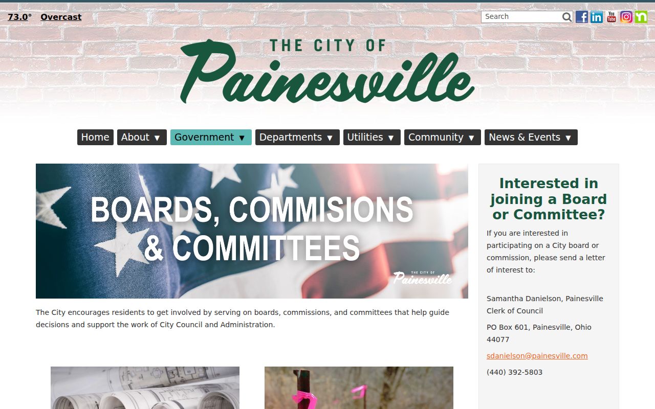
No authoritative Painesville neighborhood-association directory, HOA membership roster, block-watch roster, or umbrella resident roster was located in the reviewed sources. Morley Library, the Lake County Historical Society, and the city’s public meeting records are useful public follow-ups, but none should be represented as a neighborhood member list.
Painesville Neighbor Record Requests
A map result can point to the office that may hold a narrower local record. Painesville’s public-record process accepts verbal or written requests, and a focused request can identify an address, approximate date, department, and record type. The City’s form has separate spaces for inspection and copies, while requester contact information is optional. Ask the custodian for the particular public file needed, not for an undefined file about everyone near an address.
City boundaries matter before using that route. Because 44077 includes areas beyond the incorporated city, read the Auditor Municipality field and map location first. For a city parcel, a request about a specific address, year, and record category can be directed to the appropriate City department. No self-service historic permit database was located, so an address-and-date request is the documented alternative. For county parcel, map, deed, or election records, use the Auditor, GIS, Recorder, or Board of Elections channel that actually keeps the record.
Note: A precise request can locate a public document, but it cannot convert a parcel file into a list of all nearby occupants.
Painesville Neighbor Tools Compared
Official parcel records and commercial neighbor-tool categories serve different purposes. The county tools let a reader inspect the custodian, the field type, and the record date. Commercial categories can combine material from several sources, may charge fees, and may retain stale or mismatched information. A current parcel, court, or election question should be checked at its named custodian.
| Official parcel records | Commercial neighbor-tool category |
|---|---|
| Shows a particular parcel, map layer, tax contact, legal description, or recorded-document reference. | May combine data from different sources with an unclear retrieval date or relationship context. |
| Can be cross-checked with the Auditor, GIS, Recorder, Board of Elections, or court that holds the record. | Can contain stale or mismatched entries and does not replace a custodian’s copy. |
| Does not claim a complete list of occupants for a block. | Does not establish a person’s presence, household relationship, or legal parcel boundary. |
Painesville Neighbor Privacy Limits
Ohio Safe at Home provides a substitute-address program for qualified participants, so a missing or redacted address can be a protection rather than an error. Voter records also exclude protected fields, and designated public service workers have a specific online-address redaction route under state law. Utility and motor-vehicle records are not a source for filling gaps in a parcel map. The right response to a protected or ambiguous result is to stop, not to seek around the limit.
The text of the Ohio Public Records Act explains access to records held by an office and its exemptions. A focused request can identify a record type, address, date range, and department, but it cannot compel release of confidential material.
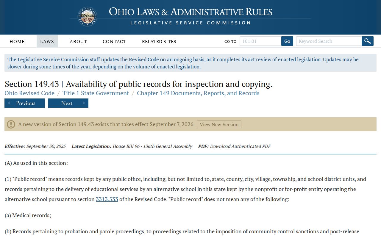
Use the law and the custodian’s procedure to request a defined public record, while preserving the restrictions that protect address and personal information.
Lawful use. Use Painesville neighbor records for personal, lawful property and civic research. Do not use a map, label, or public record to stalk, harass, intimidate, or harm anyone.