
Painesville ZIP Code Coverage
Painesville's documented postal geography centers on 44077. The city identifies that ZIP as shared by the incorporated city, Painesville Township, Grand River, Concord Township, and Leroy Township. It is a useful postal filter, but it does not resolve the government that has the parcel record. Keep the postal place separate from the city corporation limit, township, ward, school district, Census place, and Lake County parcel municipality.
| ZIP | Areas | Post office | Notes |
|---|---|---|---|
| 44077 | Painesville City and the broader postal Painesville area, including Painesville Township, Grand River, Concord Township, and Leroy Township | Painesville postal service | An official USPS facility page naming the retail station was not located. Confirm a complete delivery address with USPS, then read the Auditor Municipality field. |
This Painesville ZIP code directory has one verified local ZIP relationship in the research, not a claimed catalog of specialty, P.O. Box, or institution ZIPs. A postal address ending in Painesville, Ohio 44077 is not, by itself, evidence that the parcel lies within Painesville City.
Painesville ZIP Geography
The City of Painesville's demographics page describes the broader shared postal area and its relationship to the incorporated city.
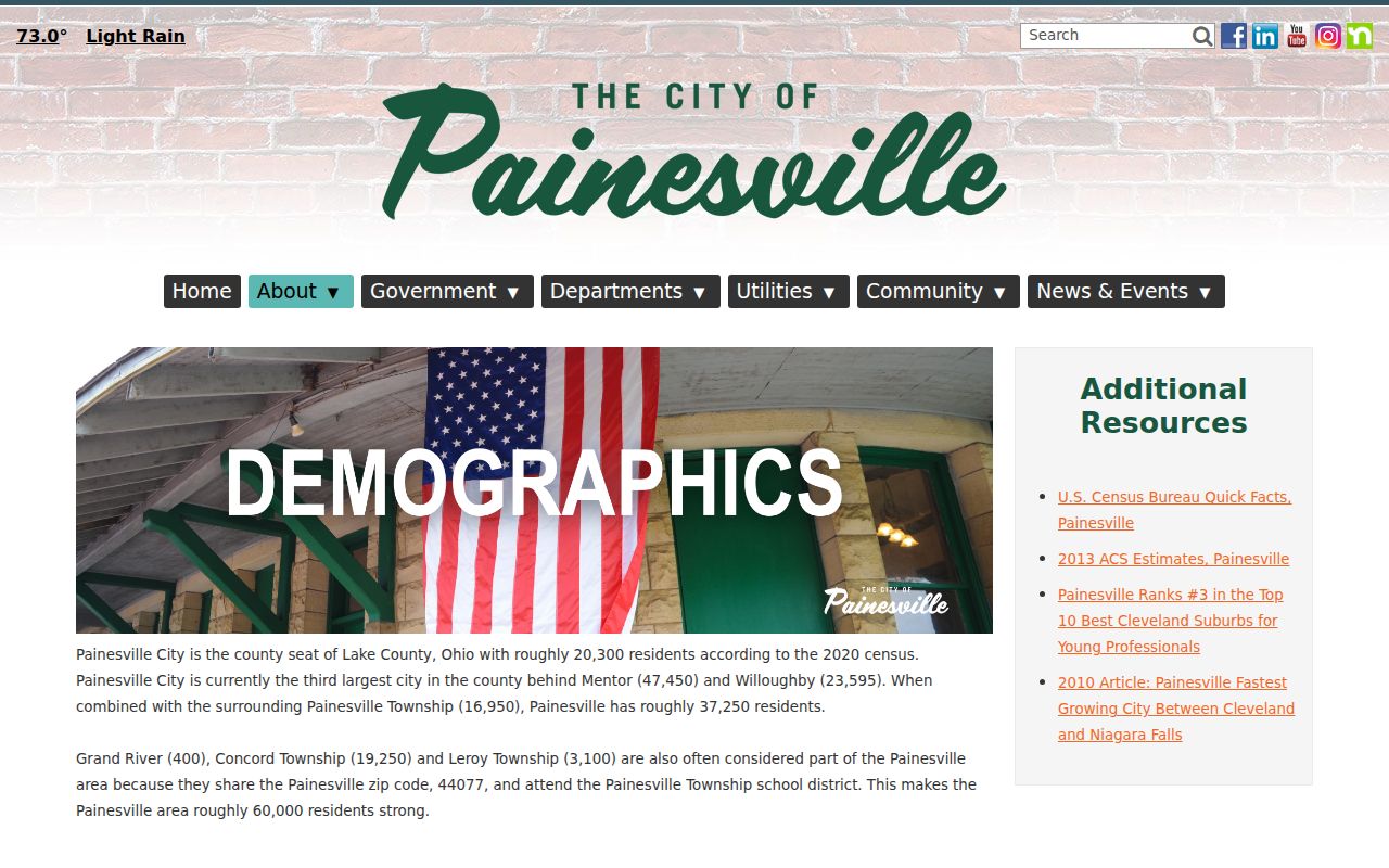
The city reports roughly 20,300 people within its 2020 census boundary and describes a larger roughly 60,000-person Painesville ZIP area. Census QuickFacts separately reports a 2020 city population of 20,312, an estimated 2025 population of 20,660, and about 6.83 square miles of city land. Those figures use different boundaries and should never be combined into one population total.
That scale difference explains why two addresses with the same Painesville postal place can be served by different local governments and record custodians.
Painesville ZIP Code Search
A Painesville postal search becomes useful when it stays tied to a specific record type. The Lake County Auditor Basic Property Search has an optional Postal Code field alongside street, address number, owner, and Parcel ID. LakeNavigator then accepts a PIN, owner, or street address, not ZIP as its primary key. The practical Painesville sequence is postal validation first, parcel identification second, and jurisdiction review before a request goes to a city office.
- Use the USPS ZIP Code Lookup with a complete delivery address when the question is the assigned delivery ZIP.
- For a Painesville 44077 property candidate, enter Postal Code with a street or address number in the Auditor Basic Property Search. Save the PIN from the selected record.
- Open the Painesville-area parcel card and read Municipality, school district, legal description, neighborhood, and both owner and tax mailing fields.
- Paste the Painesville address or PIN into LakeNavigator to compare the selected parcel with map and city layers.
- Move to the Recorder by legal description, party, or document reference when the question is about a recorded instrument. For a whole-road Painesville workflow after the ZIP is narrowed, use the Painesville street directory.
Ohio My Voter Information begins with a person's first name, last name, and county. The inspected public lookup is not a Painesville ZIP-wide resident form, so it should not be presented as a 44077 roster.
Painesville Postal Code Fields
The Auditor Basic Property Search provides the Painesville-area ZIP-capable property control. Its advanced page is a criteria builder instead of a fixed ZIP directory. The research showed its controls, but not a stable list of every criteria option before a group is selected. Use the basic postal field to reduce a Painesville property candidate list and add the street or number when a road reaches more than one expected area.
| Field or control | Type | Required | Research-backed use |
|---|---|---|---|
| Parcel ID | text | No | Search a full parcel ID; * can group or prefix IDs. |
| Owner | text | No | Accepts full or partial name, with * as a wildcard. |
| Address: No | text | No | Use the street number to narrow a property candidate. |
| Street | selectable street list / text-like chooser | No | Omit the suffix; the Auditor gives *Arden as a whole-street example. |
| Postal Code | selectable / text-like chooser | No | The local ZIP-capable field; a complete published list of permitted codes was not located. |
| Group and Criteria | advanced controls | No | Select a group, choose a criterion, and build the value or condition. |
| Add, Edit, Remove, Remove All, Save, Load, Search | advanced controls | Conditional | Build and run Current Criteria. |
Note: The portal did not publish a 44077 result count, a ZIP-boundary map, or a property-roll coverage-year statement in the inspected research.
Painesville ZIP Parcel Checks
A selected Painesville-area Auditor card gives more than a postal field. Municipality, parcel number, school district, legal description, neighborhood, values, and tax or owner mailing fields help distinguish a delivery location from the identity of the property record. The Owner Mailing Address and Tax Mailing Address can differ from the Painesville situs. They are correspondence fields and should not be treated as a statement of who is physically at the parcel.
Lake County GIS provides the county map and data route used to place the selected parcel in spatial context.
LakeNavigator offers more than 30 online layers, including Painesville parcel lines, PIN, owner and address labels, sale information, neighborhood, old parcel lines, easements, subdivision or plat context, lots, tracts, and township-range information. Its ownership layer is not survey accurate. Use it to compare Painesville context, not to set a legal boundary.
Painesville USPS ZIP Checks
USPS ZIP Code Lookup offers lookup by address and by city and state.
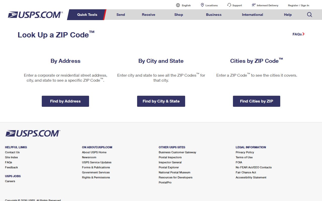
Use the result to verify the ZIP assigned to a complete standardized Painesville delivery address. A bare Painesville street name is less dependable where a road reaches a township or an unincorporated postal area. USPS results do not determine property ownership, city jurisdiction, voter precinct, school district, or municipal services. The Auditor and GIS provide parcel context; Painesville city maps and ordinance material supply city context.
Painesville ZIP City Limits
The critical 44077 finding is local: Painesville City, Painesville Township, Grand River, Concord Township, and Leroy Township share the same Painesville postal ZIP. For permits, code files, ordinances, municipal court matters, city meetings, or city public records, verify the Auditor Municipality field and mapped location before selecting the custodian. A postal Painesville address outside the city may need a county or township office.
Postal warning. Do not turn a ZIP result into an assertion of city jurisdiction. Read the delivery ZIP, parcel municipality, and the type of record as separate facts before sending a request.
- ZIP and ZIP+4
- A ZIP is the main postal routing code. ZIP+4 adds delivery-segment detail; neither one sets a city or parcel boundary.
- P.O. Box ZIP
- A ZIP assigned to mail collected through post-office boxes rather than a claim about a physical parcel's government jurisdiction.
- Unique ZIP
- A ZIP assigned for a single organization or delivery purpose. The reviewed Painesville research did not identify one as part of the local coverage finding.
- Carrier route
- A mail-delivery grouping used for routing. It is not the same as a ward, precinct, parcel, or municipal boundary.
Painesville ZIP Map Context
Painesville's official map page publishes the city's Street Map, Ward Map, and Zoning Map.
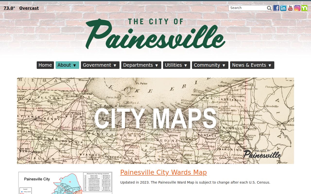
The Street Map was updated in 2020, the Ward Map in 2023, and the Zoning Map in June 2025. They help test city context after a parcel is found. They do not supply a complete 44077 boundary shapefile, and the research did not locate a ZIP map that establishes the full postal boundary.
Painesville ZIP History Notes
Today's postal form can hide an older Painesville address. A current situs may be paired with a former street name, lot or block description, route-style mailing form, rural postal form, or directory abbreviation. The code-library special-ordinance tables include street-name changes, vacations, dedication or plat approval, street grades, annexation or detachment, and zoning-map changes. Those recorded categories are useful leads, but no source located a citywide renumbering date, universal old-to-new crosswalk, or complete ZIP-boundary file.
Preserve the current number and suffix, the historic form exactly as printed, postal place, ZIP when supplied, PIN, municipality, lot or legal description, source date, and any ordinance reference. Search variants separately. The Recorder's online index begins in 1986 and images in 1990, so older address history often depends on legal description, the 1904 Sanborn, Morley's 1840 and 1857 atlases, directory volumes, and the Recorder counter records.
Painesville ZIP Record Limits
A ZIP code is a current search filter, not a personal identity record or a historic address translation. It can reduce the Auditor's parcel candidates, but it cannot establish a property owner, every person at an address, a voter precinct, or legal municipal limits. An older document or directory entry may not use the present postal form at all.
For a document question, move from the verified parcel to the Recorder by legal description, party, or document reference. For a local request, state the actual property and time period after the municipality check. A clear request can name the address, PIN, approximate date, and desired file type without converting a postal label into a municipal claim. This preserves the useful Painesville ZIP code directory distinction between a delivery address and the office that keeps the record.